
New collaboration to map grasslands, improve carbon estimation, and bring neglected ecosystems into mainstream climate planning
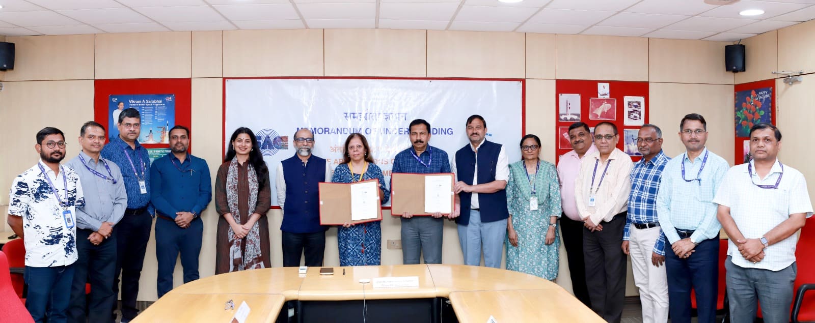
In a bid to strengthen India’s climate and land-use strategy, the Indian Space Research Organisation through its Space Applications Centre (SAC) has signed a MoU with the Ashoka Trust for Research in Ecology and the Environment (ATREE).
The partnership aims to combine satellite-based geospatial intelligence with field-driven ecological research to generate high-quality, policy-relevant data for sustainable land management.
Bridging Space Technology and Ecology
The collaboration reflects a growing recognition that climate action requires interdisciplinary approaches. SAC-ISRO brings expertise in large-scale satellite mapping and earth observation, while ATREE contributes deep ecological insights and on-ground research capabilities.
Together, they will focus on mapping India’s grasslands and other open natural ecosystems—areas that have historically remained underrepresented in conservation policies.
Beyond mapping, the initiative will assess restoration outcomes on degraded lands and develop improved methodologies to estimate both above- and below-ground carbon.
This is particularly critical as accurate carbon accounting becomes central to climate commitments and carbon market mechanisms.
Why Grasslands and Open Ecosystems Matter
India’s grasslands, savannas, and deserts are often misclassified as “wastelands,” leading to their diversion for infrastructure or afforestation projects that may not suit these ecosystems.
Experts argue that such landscapes are biodiversity-rich and play a crucial role in carbon storage, water regulation, and supporting pastoral livelihoods.
By standardising methods to identify and monitor these ecosystems, the SAC-ATREE partnership could correct long-standing policy blind spots.
The effort is expected to produce scalable frameworks that state and national agencies can adopt for better land-use planning.
Policy and Climate Implications
The MoU comes at a time when India is advancing its commitments under global frameworks such as Land Degradation Neutrality (LDN) and the Sustainable Development Goals (SDGs).
Reliable, high-resolution data is essential for tracking progress and designing interventions that balance ecological integrity with economic development.
This collaboration is likely to enhance decision-making across sectors—ranging from climate mitigation and biodiversity conservation to rural development and livelihood security.
By integrating satellite data with field validation, policymakers can gain a more nuanced understanding of landscape changes and restoration effectiveness.
Toward Evidence-Based Environmental Governance
The partnership also signals a broader shift toward evidence-based environmental governance in India.
As climate risks intensify, the need for credible, science-backed data becomes increasingly urgent. Initiatives like this could set a precedent for future collaborations between scientific institutions and research organisations.
Importantly, the MoU is designed to evolve with inputs from a wider network of researchers, practitioners, and institutions, potentially creating a collaborative ecosystem for land and climate research in India.
A Strategic Step Forward
By formalising this alliance, SAC-ISRO and ATREE are positioning India to better integrate ecological sustainability into its development agenda.
The focus on open natural ecosystems not only fills a critical knowledge gap but also reframes these landscapes as strategic natural assets.
As India works toward its 2030 climate and land restoration targets, this partnership could play a pivotal role in ensuring that policy decisions are informed, inclusive, and grounded in scientific evidence.